5 DAYS, 52km
Walking to the highest point in Australia isn’t necessarily the arduous expedition it is on most other continents. The fact the peak isn’t all that high by world standards has a fair bit to do with that – and the small point that there is a chairlift just a few kilometres away and a wide path that leads all the way to the top. But it doesn’t have to be that easy. There are walking tracks around Mt Kosciuszko that lead to more remote peaks, remote ridges, fields covered in summer wildflowers and bubbling streams and some of the best alpine campsites you’ll find anywhere. The Main Range circuit as it is traditionally walked can be completed in 2-3 days starting and finishing at Charlotte Pass. By leaving from nearby Guthega, the walk can be extended to a superb five-day trek that samples the best of Australia’s mountain scenery. And you still get to tick off the highest peak in the land.
Day 1: Guthega to Blue Lake (10km, 6 hours)
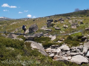
Driving from Jindabyne, take the road to Perisher Valley and Charlotte Pass and turn right after about 20km. The road ends at a car park at the Guthega Inn. The track drops quickly to cross Blue Cow Creek – ignore the track to the right to the dam wall, you will return on that in five days’ time. The rough track follows the Snowy River to Illawong Lodge, built by ski tourers as a base for trips into the Mountains, before crossing the Snowy on a swing bridge.
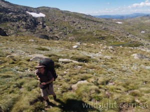
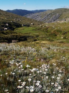
The marked path ends here but the route is easy to follow – head up to a saddle between Mt Twynam (2196m) and neighbouring Little Twynam. In between are some delightful alpine grasslands, an increasing number of boulders, a few defiant stands of snowgums, a lot of wildflowers and an ascent of 300 metres in about 3km.
The saddle is like a gateway to the Main Range with the view revealing most of Australia’s 2000m peaks, topped by Mt Kosciuszko rising in the distance. Clamber down the slope to Blue Lake, crossing the outlet stream on rocks at the southern end of the lake. There is a rough trail here that connects with the main path to Blue Lake – part of the Main Range circuit. It’s easy walking downhill to the Snowy River, which is crossed on stepping stones. Scout the surrounding area for a flat spot to pitch a tent – note that camping is prohibited within 30 metres of all streams in the park.
Day 2: Blue Lake to Wilkinsons Creek (8km 5 hours)
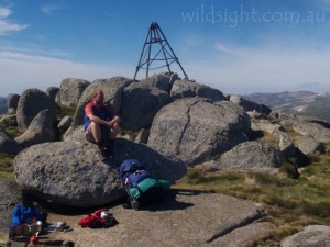
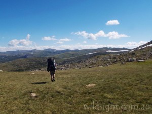
Find your way back to the Snowy River crossing to pick up the walking track on the other side. A short but very sharp climb follows to Charlotte Pass, where many hikers and day-trippers start their trips into the mountains. There is a car park and toilet block here. The next section of walking is on the Summit Road in the direction of Mt Kosciuszko. Prior to 1976 this was an actual road and it still feels like one – it’s wide and well enough made you may encounter parents with children in strollers. The advantage is covering the 4km in quick time to two bridges over the Snowy River, then a steady climb to Seamans Hut, 6km from Charlotte Pass. Another 1.5km further on is the space-age toilet facilities at Rawson Pass. This is where the path from the top of the Thredbo chairlift, and more day trippers, join the Main Range Track for the final ascent of Mt Kosciuszko. From here the track heads north, sidling the eastern side of the mountain to a track junction, where a rough path branches off to the right. Leave packs here (or strategically placed behind some of the large boulders a few metres down the side-track) and continue on the main path for the final 500m to the top of Mt Koscuiszko. The summit is marked by a large cairn – a popular activity is to have your photo taken standing on top of it; you may have to wait for a turn. Return to the junction, pick up packs and head north, leaving the crowds behind. The camp for the night is a couple of kilometres ahead in the valley of Wilkinsons Creek – when you get to the saddle above the valley head down until you find a suitable patch of flat ground.
Day 3: Wilkinsons Creek to the Sentinel (12.6km 5 hours)
Climb out of the valley back to the track which follows a ridge north to Muellers Pass. You don’t have to walk far before dropping packs again for the side-trip to Mt Townsend, which is a much more enjoyable climb and has arguably better views than the slightly higher Mt Kosciuszko.
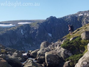
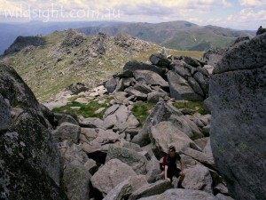
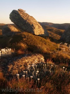
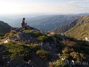
Pick up packs again and head north on the most spectacular section of the Main Range Track. The path hugs passes high above Lake Albina on a narrow ledge then follows a windswept ridge past the top of jagged cliffs to the summit of Caruthers Peak, No.9 on the list of Australia’s highest peaks. Dropping down the other side of the peak the track swings right towards Blue Lake, but our route continues north on a management vehicle track towards Mt Twynham. About 1km after leaving the main track the jagged spine of the Sentinal juts out of the Main Range to the left – there are excellent campsites in the snowgrass plains near the start of the ridge. There is a narrow, hair-raising track to the top of the Sentinal, where views of Watsons Crags and rugged slopes known as “Little Austria” are spectacular – but not for the faint-hearted; the summit cairn sits atop 400m cliffs.
Day 4: The Sentinal-Consett Stephen Pass (10km 6 hours)
Climb back to the main track and follow it to the top of Mt Twynham, Australia’s third-highest peak, for 360-degree views of the whole Main Range. From here most of the walking is off-track, but expansive views and alpine grasslands make route-finding easy.
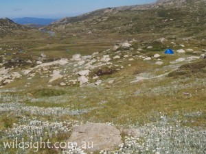
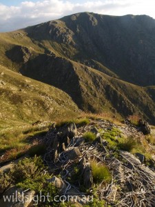
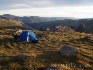
Head north to drop off the summit of Mt Twynham and pick a path around, over and between a succession of peaks – MtAnton, Mt Anderson and Mt Tate. A quick scramble to the top provides excellent views south over the ground just covered and the rolling mountains to the west. Keep heading north and a rough track appears as you approach a pass at the head of two river valleys. This is Consett Stephen Pass, about 8km from Mt Twynham. Turn right (east), cross the pass and scramble up the other side. If you have time the undulating plateau known as the Rolling Ground is 2km north and offers excellent camping opportunities. But there are also plenty of good places to pitch a tent on the open grassy areas just south of the pass.
Day 5: Consett Stephen Pass-Guthega (5km 2.5 hours)
The final day of walking is again off-track but straightforward – head due south along the ridge that rises to the east of Guthega River. Find a path through the snowgums over the highest point on the ridge and drop down the other side to find a narrow path on the eastern shore of Guthega Pondage. The track crosses the Snowy River on a dam wall and climbs up the opposite slope to Guthega Inn.
NEED TO KNOW
Summer is a great time to walk with mostly sunny days and wildflowers out. The entire route is under snow in winter but the weather can turn nasty at any time of year and most of the route is exposed. Nights are cold all year round. Fill out a trip intentions form in the visitor centre at Jindabyne, where you can also hire an emergency beacon. Water can be obtained from creeks and streams along the route but should be purified or boiled for at least a minute before drinking. Navigation skills are essential and some off-track experience is an advantage.
OTHER THINGS TO SEE AND DO
There are plenty of other short walks around the Main Range and the area is also a great place for mountain biking, canoeing, fishing, horse riding and scenic touring. The visitor centre in Jindabyne is the perfect place to plan your trip.
ACCOMMODATION AND SUPPLIES
The alpine town of Jindabyne has a range of accommodation and good outdoor gear supplies. You can also get rooms at discount rates in summer at the Thredbo and Perisher Valley ski resorts. If you want a really early start, you can stay at Guthega Inn itself.
MORE INFORMATION
Call (02) 6450 5600 or visit Environment NSW’s Kosciouszko National Park page
These descriptions are a guide only. While we have made every effort to make them accurate, we accept no responsibility for any loss, injury or inconvenience sustained while using them. Make sure you use an up-to-date map and consult rangers before heading out.
